A recent mineral exploration on the Galt claim group under option to Surge Battery Metals (CSE:NILI) located 11 Miles to the South includes 51 playa sediment samples collected for chemical analysis at ALS Geochemistry in Vancouver, B.C.
Results of aqua regia leaching of the samples show 68 to 852 parts per million lithium (mean 365 ppm), 5.3 to 201 ppm cesium (mean 72 ppm) and 35 to 377 ppm rubidium (mean 180 ppm). Results from two seven-foot-deep auger holes show lithium, cesium, and rubidium concentrations in the range of 143.5 to 773 ppm Li, 56.8 to 102.5 ppm Cs and 155 to 272 Rb.
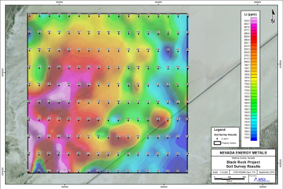
Recent Mineral Exploration completed by Nevada Energy Metals Inc. in 2016 (NICL-V) tested for lithium (Li) values in playa evaporates returned significant geochemical results at the Company’s 100% owned Black Rock Desert Project in Nevada. Geochemical sample points were arranged on a grid pattern of 11 lines spaced 400 meters apart with stations every 200 meters along the lines. One hundred and seventy (170) soil samples were collected. Results ranged from 82.8 to 520 parts per million (ppm) lithium with a median value of 182 ppm. Twelve samples carried over 300 ppm Li.
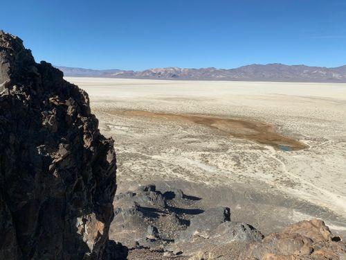
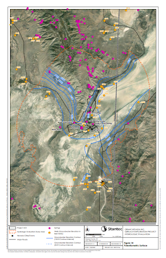
These results show that dissolved lithium has been transported into this portion of the Black Rock Desert and is available for potential concentration by evaporative brines. The exploration model for the Black Rock Project is a Clayton Valley evaporative brine deposit as described in USGS Open File Report 2013-1006.
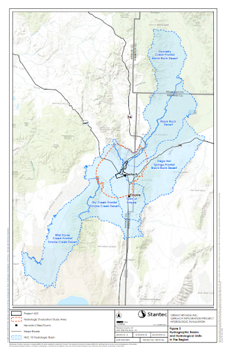
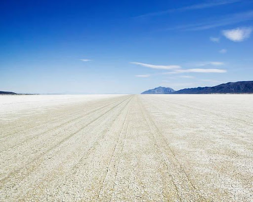
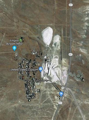
The entire San Emidio Desert basin is a highly prospective lithium exploration zone and is about 38 km long and up to 11 km wide at the widest point with the central playa measures about 8.5 km north – south and 4.5 km east – west.
A proposed four-hole drill program at the Galt project is pending permitting approval is designed to test a tight grouping of highly anomalous surface sediment sampling locations which returned assay values with a high of 312 ppm lithium and a mean value of 215 ppm lithium.